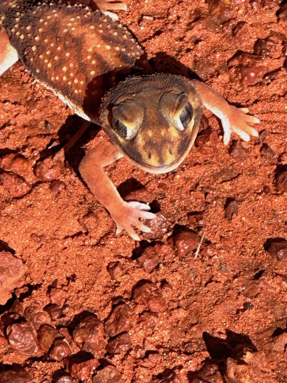
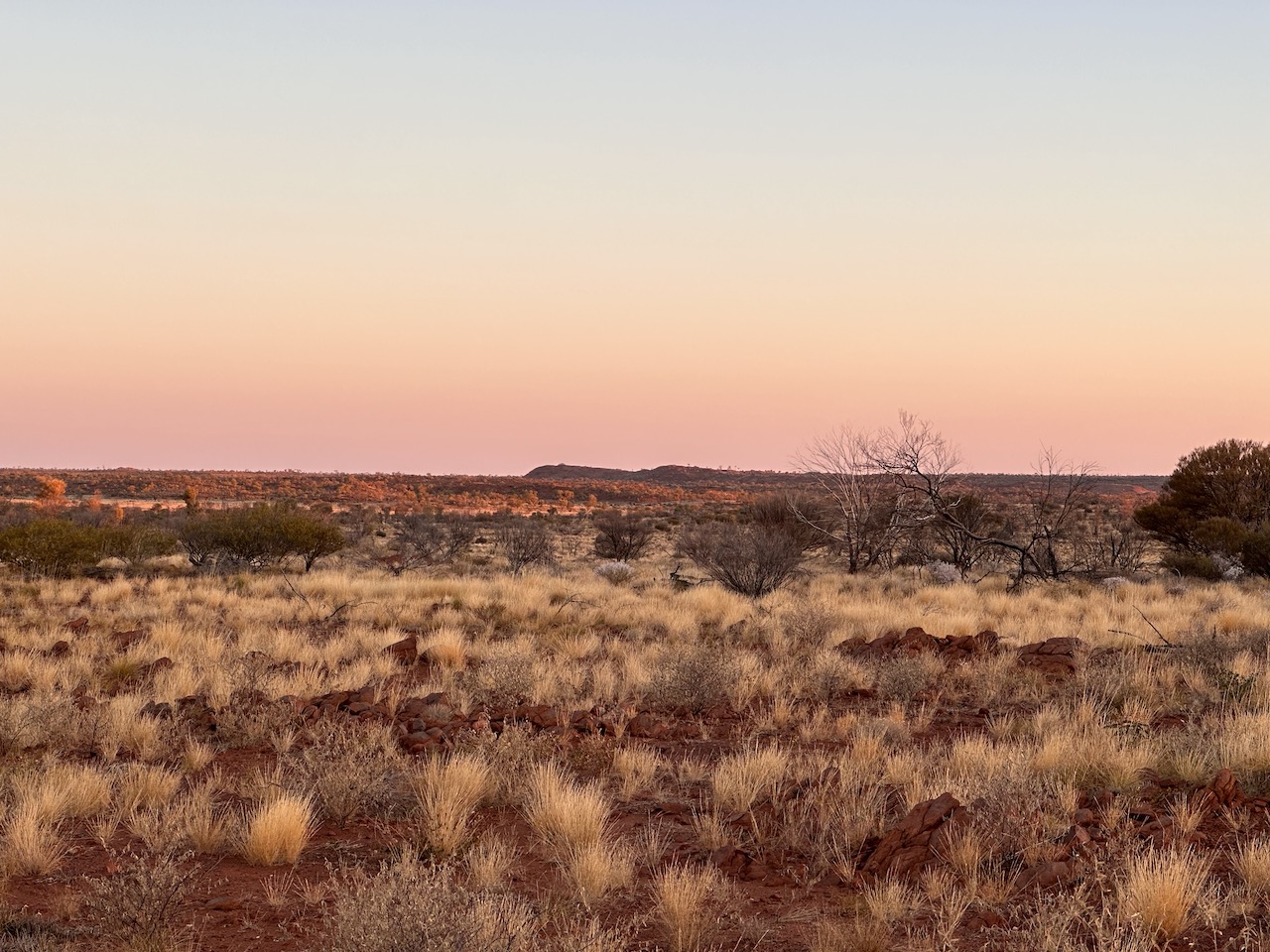
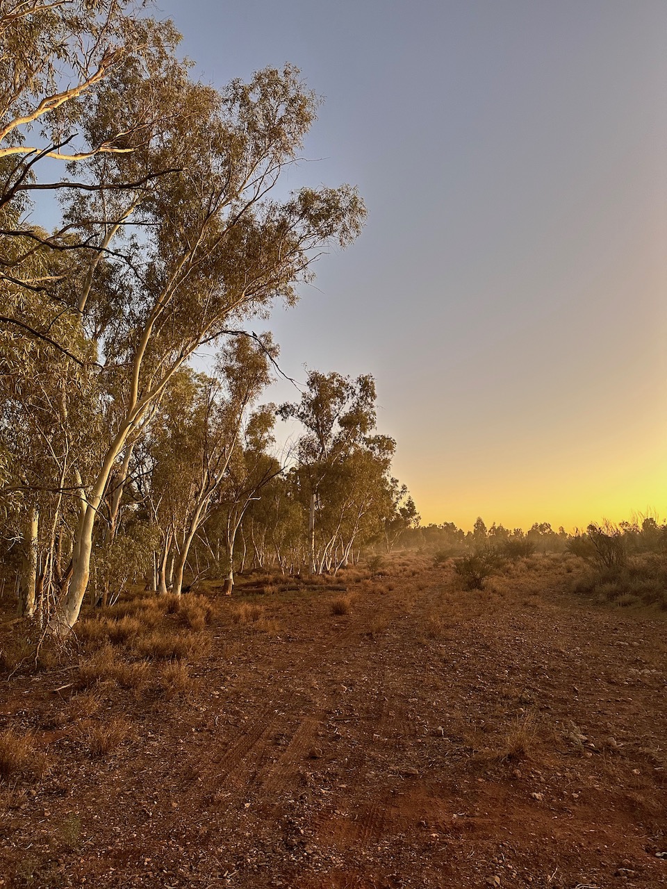
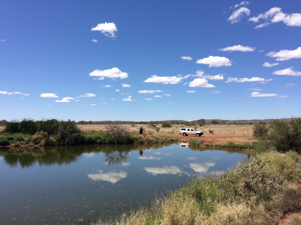
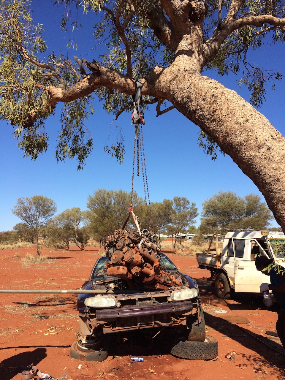
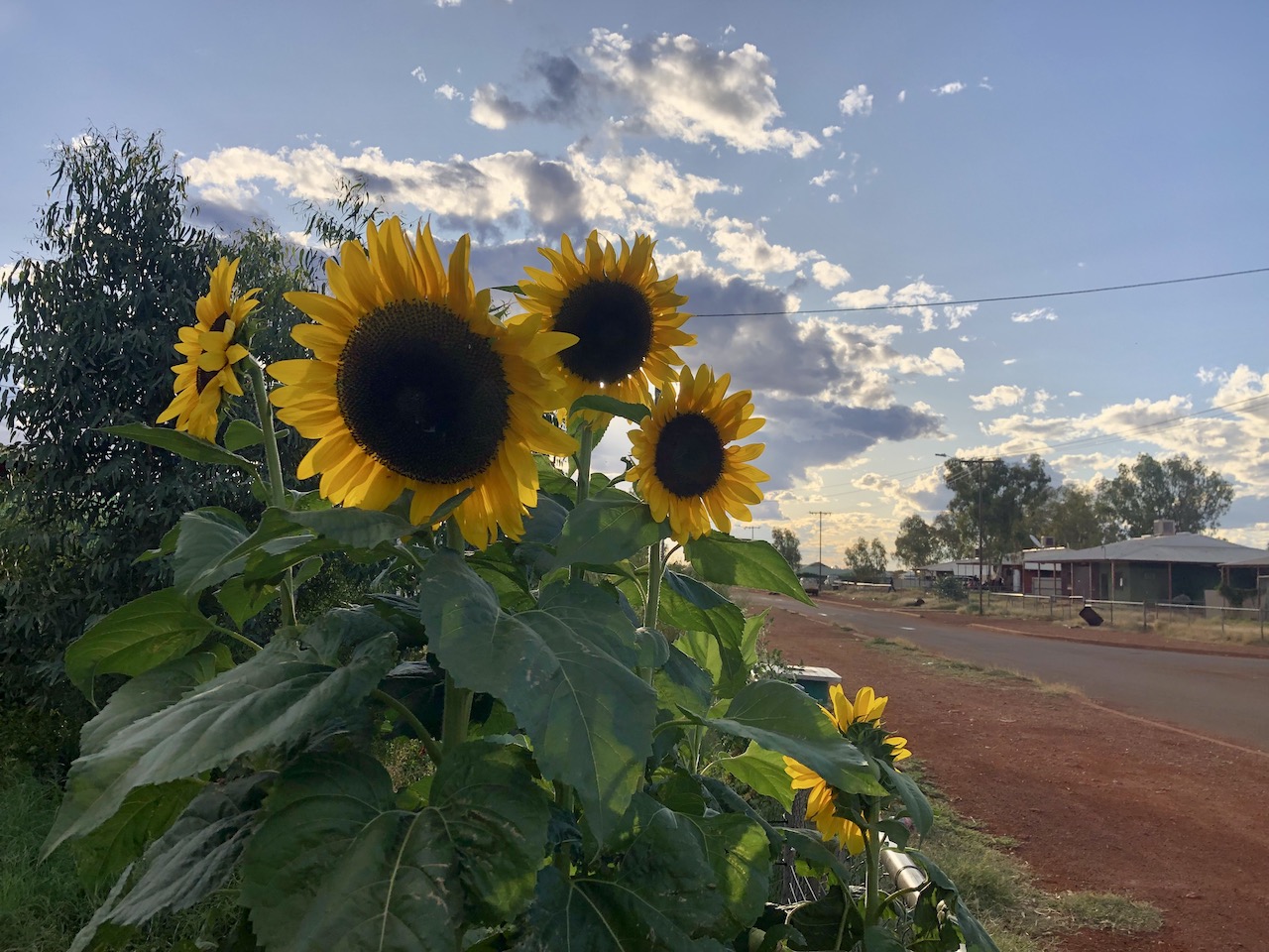
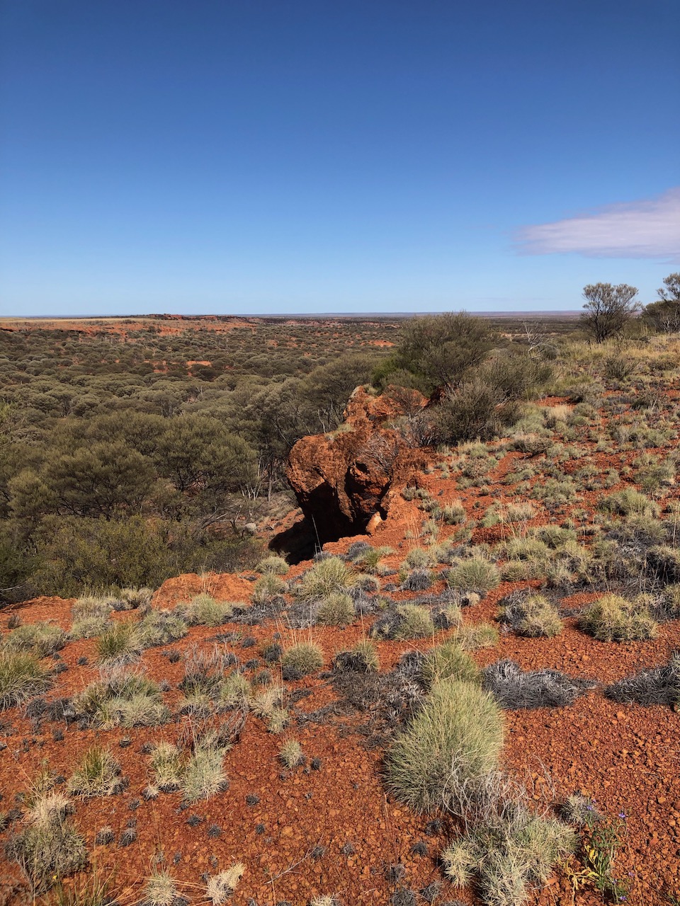
a geckothe light fading over the Gibson desertPila Nature Reserve, formerly known as the Gibson Desert Nature Reservethe location where the 1934-1936 Mission was foundedthis bore water fed dam provides a place for camels to drink water outside Warbuton Community. This is to prevent camels from entering the community.the Yarnangu are very capable with improvised vehicle repairs such as swapping out engines without the use of modern infrastructurethe mineral rich soil is ideal for growing sunflowers, just add lots of waterLen Beadell deliberately diverted a section of the Connie Sue Highway towards this "breakaway" section to provide a view for travellers to enjoy. This area is called the McKenzie Breakaway in the English language. My research has not given a difinitive name in the traditional Ngaanyatjarra langugage (yet)Another of Len Beadell's famous roads is the Gunbarrel Highway. The Heather Highway (pictured) is the connecting road that takes you from the modern Great Central Road to the historic and famous Gunbarrel Highway.
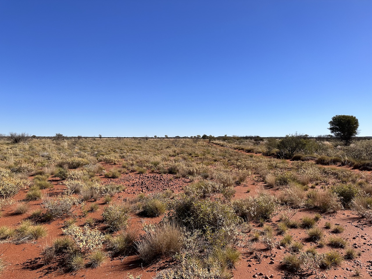
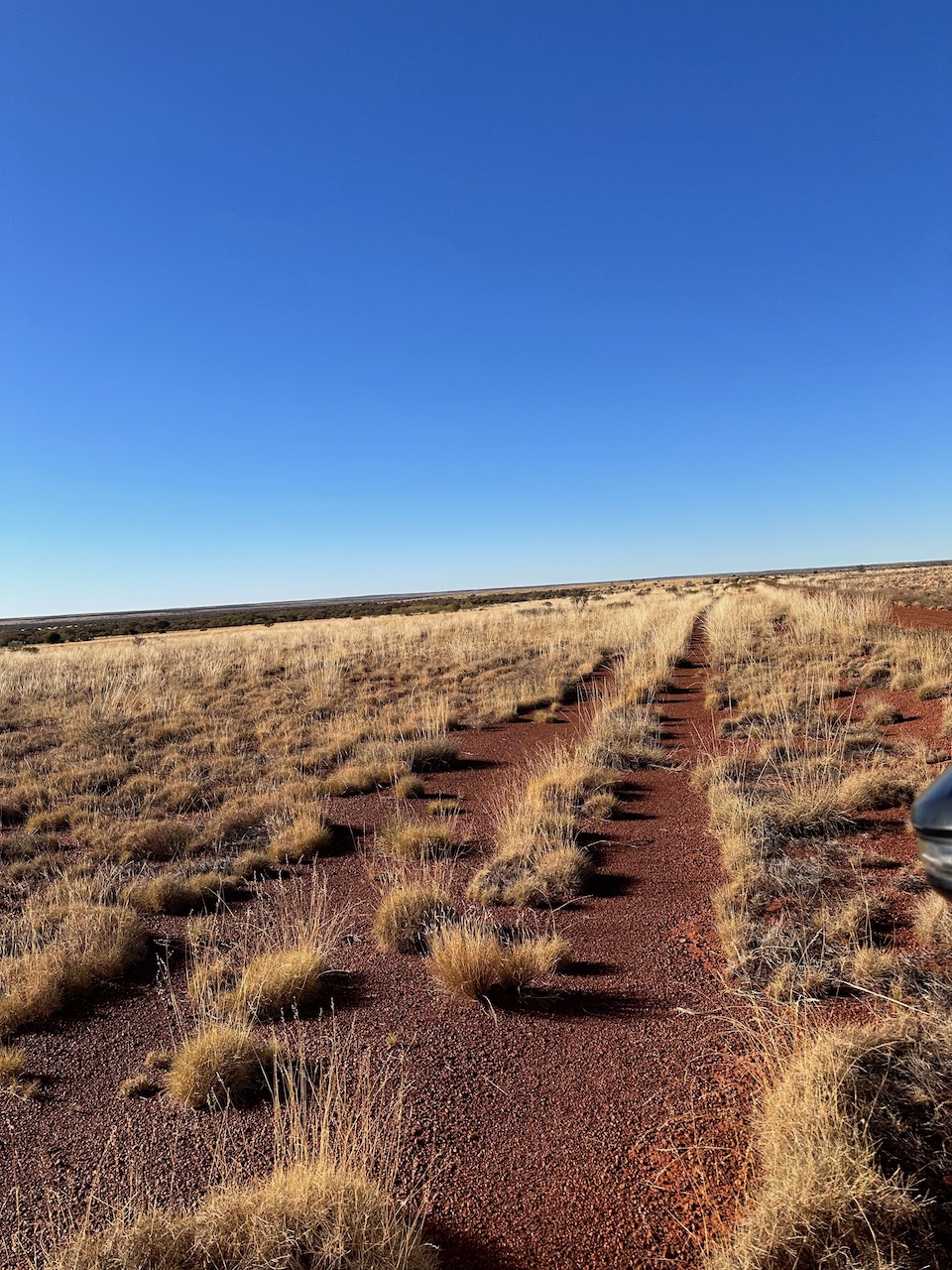
The Gibson Desert features sections of sand dunes as well as very hard rocky areas. These hard rocky areas were used strategically by the Yarnangu to store water. Known rockholes holding water were a lifeline for Yarnangu when they travelled across the Ngaanyatjarra Lands